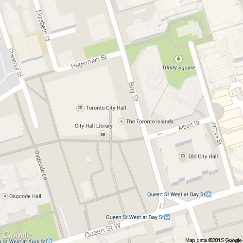
I’ve been teaching CCT 374: Technologies for Knowledge Media course this term. It seemed a natural fit to use a Media Computation approach to teach Python programming. The students have a term project where they had to design an application that uses City of Toronto Open Data. Just about every team decided to make something that involved displaying something on a map. So, I had to figure out how to display arbitrary maps programmatically, as simply as possible. Using the Google Maps API would have been beyond most of the students. Then I found a blog post with a Python program to retrieve static images from Google Maps.
I have adapted the code from the blog post to work within JES (Java Environment for Students) using the Media Computation libraries. I’ve made the code available on a gist.

